 Explore
 Hotel
ExploreHotel
Explore
Hotel
ExploreHotel
Hotel
ExploreHotel
Explore
Hotel
ExploreHotel
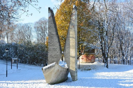
Struve’s Geodetic Arch is a network of survey triangulations stretching 2,820 kilometers across Europe, established in the 19th century by Friedrich Georg Wilhelm von Struve. This particular monument in Tartu, Estonia, represents one of the points along this arc, crucial for understanding the Earth’s shape and size. The site is located near the University of Tartu Observatory and offers views of the city. While the monument itself is a relatively modern concrete structure, the surrounding area and the hill where Struve conducted his work hold historical significance. It’s part of a larger UNESCO World Heritage listing encompassing numerous points across several countries.









Review not found
Let others know your experience here.